
Starting on August 13, 2026, a forest fire burned approximately 300 to 400 hectares in the Hürtgenwald area near Gey and Großhau. At times, more than 1,800 emergency personnel battled both ground and crown fires, while nearly 2,000 residents of Gey were forced to evacuate their homes. Wind and dry conditions fueled the spread of the fire, though the cause remains undetermined. The location of the fire is also notable: the affected area extends as far as the Rennweg. The municipality has designated a 222-hectare tract there for additional wind energy development. Previous plans for wind power at this site had met with significant public opposition. However, there is currently no evidence of a precise overlap—verified against land registry data—between the burned area and the planned development site.
Hürtgenwald: 222 hectares at Rennweg designated for wind energy
Municipal planning documents explicitly identify “Area A: Rennweg.” Spanning 222 hectares, it is among the sites designated for the potential further expansion of wind power. However, the municipality has initially put this area on hold because issues regarding seismic monitoring remain unresolved.
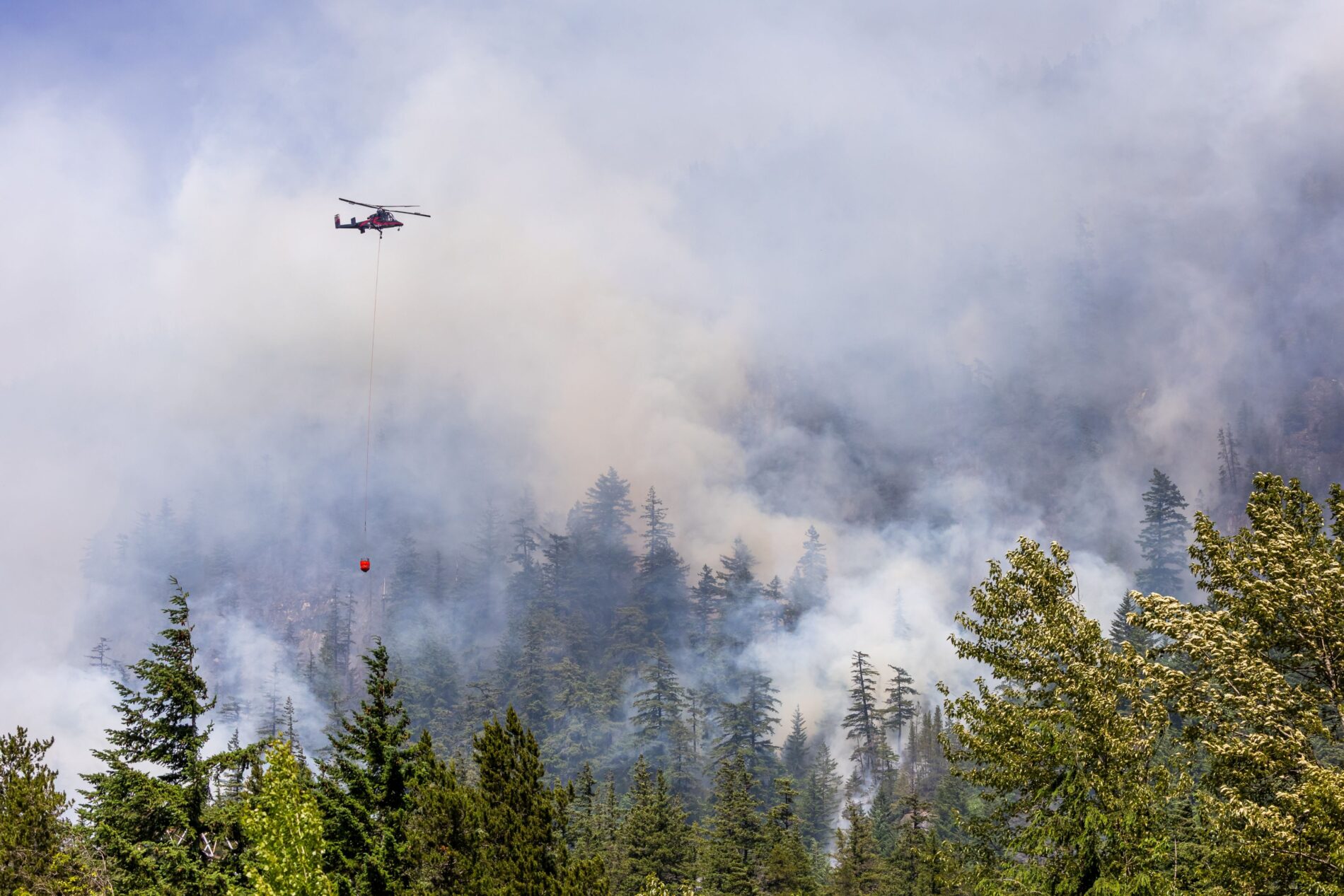
Representative image: Shutterstock
Consequently, the site is currently neither an approved wind farm nor a definitively designated new wind energy zone. Nevertheless, the Rennweg remains part of municipal planning considerations. It is precisely this background that makes the location of the major fire noteworthy.
Fire zone extends right up to the Rennweg
Düren District itself has documented the fact that the Rennweg was directly relevant to accessing the fire zone. On August 16, the district had a track approximately two kilometers long cut through the operational area. This track started specifically at the Rennweg and was intended to facilitate access for firefighting vehicles.
However, no published overlay of the two areas—accurate to cadastral standards—is available to date. Therefore, it is currently impossible to reliably quantify exactly how many of the 222 hectares actually lay within the fire zone. On the other hand, the immediate spatial proximity can be traced based on operational information.
There was already strong opposition regarding Rennweg
The conflict over wind power at this location began long before the fire. As early as 2013, local residents collected 711 signatures in just five days opposing a designated wind power zone at Rennweg. Opposition was particularly strong in Gey and Großhau—the very villages surrounding the area that would later burn.
In April 2014, the municipal council removed Rennweg from the wind power plans then under consideration. However, alongside public opposition, military air traffic control requirements and height restrictions played a decisive role. Landscape aesthetics, nature conservation, and local recreational use were also points of contention at the time. Nevertheless, the municipality later included the area in its planning considerations once again.
Cause of fire determines classification
Consequently, investigations in the Hürtgenwald forest remain focused on how the fire started. Cologne police set up a portal for tips and specifically requested photos and videos from the time the fire broke out. By August 18, investigators had processed more than 140 leads. Interior Minister Herbert Reul believes the fire was caused by human activity, though it remains unclear whether it was the result of deliberate action or carelessness.
This leaves an unusual geographical coincidence for the Hürtgenwald: one of the largest forest fires in the history of North Rhine-Westphalia struck the vicinity of a site that had been the subject of a long-running dispute over wind power planning. No link between the two events has been established so far. Therefore, it would be premature to infer a motive based solely on the fire’s location. At the same time, it is entirely valid to ask exactly how the burned area and the 222-hectare site are positioned relative to one another. A precise GIS-based comparison could provide a definitive answer to this question.
Author: Blackout News
Sources: WDR (20.08.26) – NRW-Landwirtschaftsministerium (18.08.26) – WDR (18.08.26) – Windpark Rennweg (Stand: 27.08.26) – Rettet den Hürtgenwald (Stand: 27.08.26) – Aachener Zeitung (03.03.23)